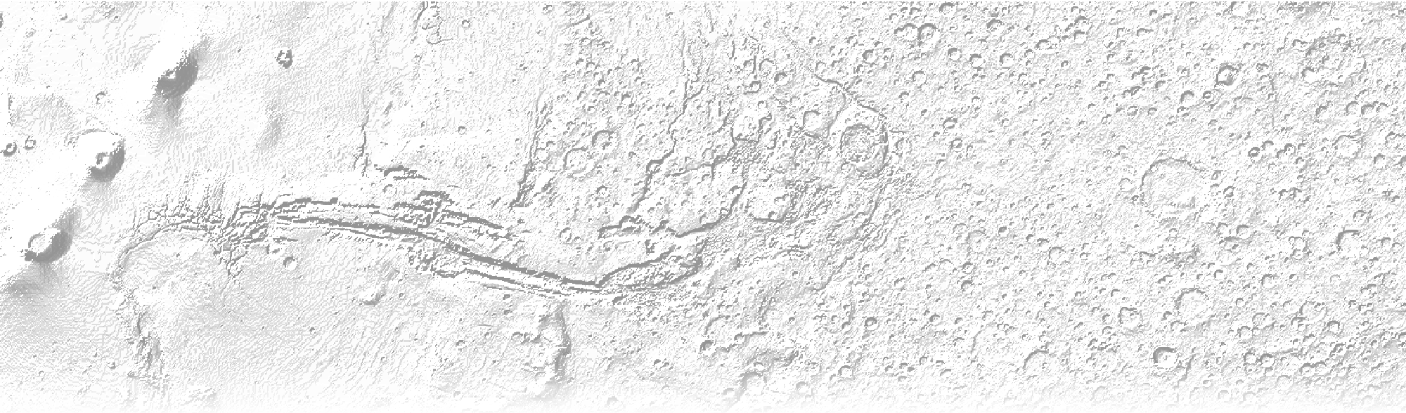
Resolution Matters
Topography influences and enables insight into geologic phenomena, such as lava flow direction, erosion, and vegetation, and this means that the resolution of topographic data matters. The animated image below shows a volcanic summit in Hawai'i with different spatial resolutions.
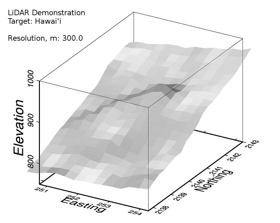
The animation was constructed by interpolating 1.5 m-resolution LiDAR data using a near neighbor algorithm at different intervals.